
News
Release notes, articles and what we are building — straight from the workshop.
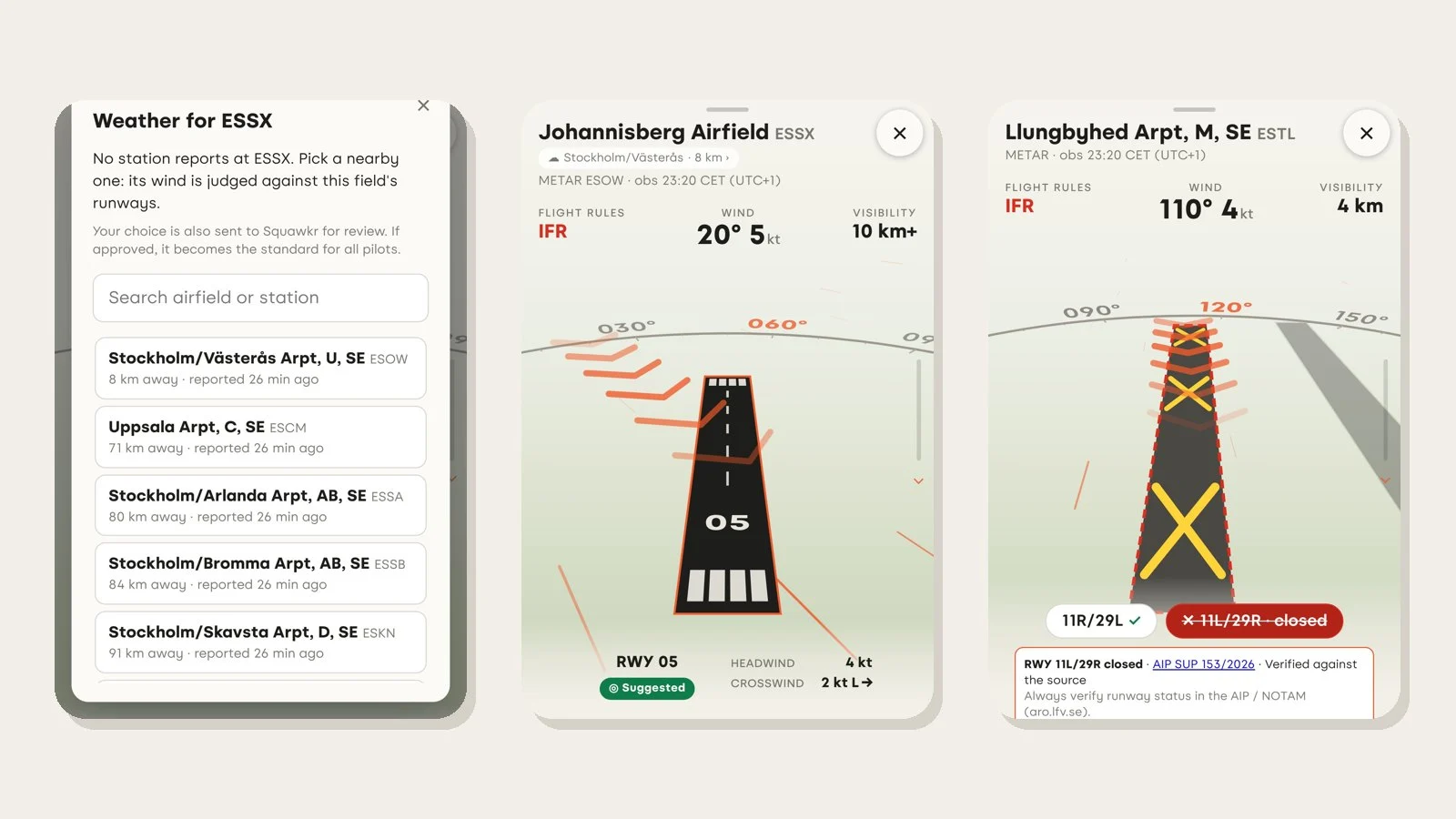
Weather for airfields without a station, and one-tap error reports
Pick a nearby station's weather for a field that has none, see closed runways clearly marked, and report a wrong runway or restriction area in a few taps.
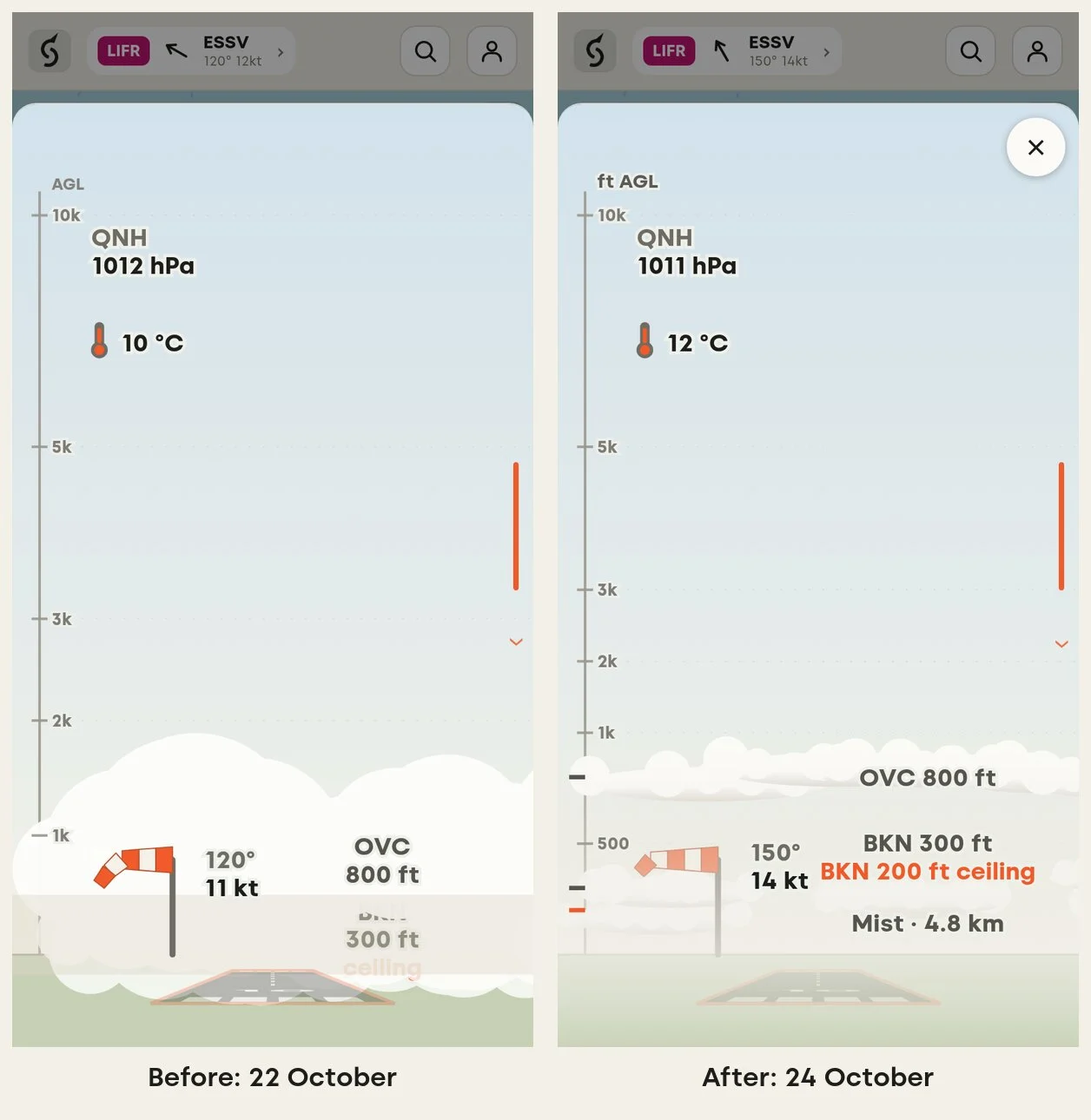
Clouds, mist, fog and weather stations - fixing the sky conditions view
We spent the day redesigning how Squawkr shows a METAR: improving the way we present low altitude clouds, mist and fog and then testing it on 200 airfields around the world.
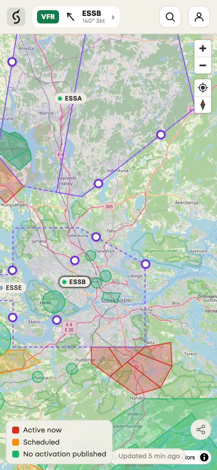
Control zone entry and exit points on the map, plus a restriction area filter
Entry and exit points for Swedish control zones are now bigger and easier to see on the map, and signed-in users can choose which restriction areas to show.
Squawkr launches with airfield weather, crosswind and airspace information
Squawkr is open to all pilots. It decodes airfield weather, suggests a runway, shows the crosswind and which restriction areas are active.